Maxar Intelligence has partnered with Saab to create space-integrated defense systems, especially for drone deployment.
The joint project will combine Maxar’s satellite imaging and topographic data with Saab’s tactical solutions.
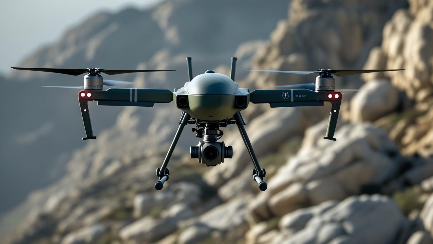
This setup is tailored to help autonomous drones navigate in GPS-denied or contested regions, enhancing precision.
The initiative expands on Maxar’s earlier collaboration on Saab’s Raptor platform, now undergoing field trials.
Raptor allows drones to use visual navigation instead of GPS, extracting data from onboard sensors.
It references Maxar’s global 3D terrain model—spanning over 90 million square kilometers—to ensure real-time spatial awareness.