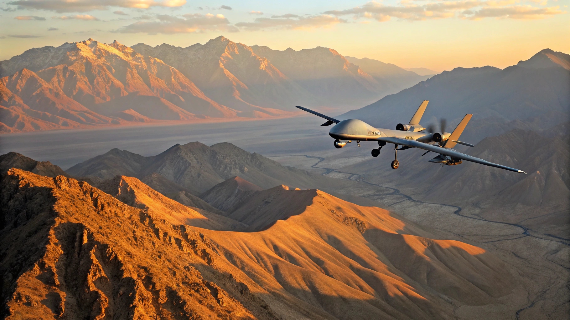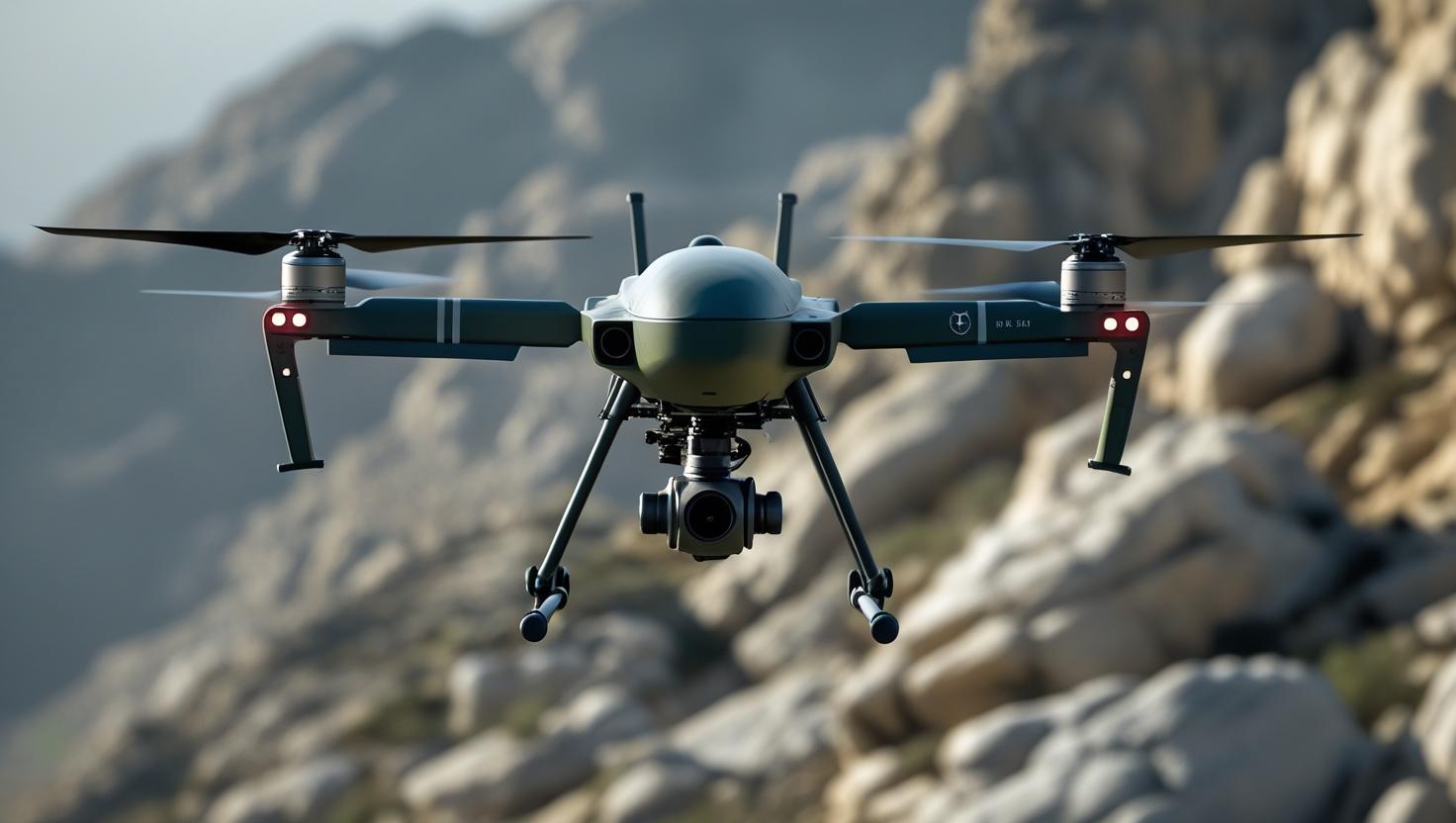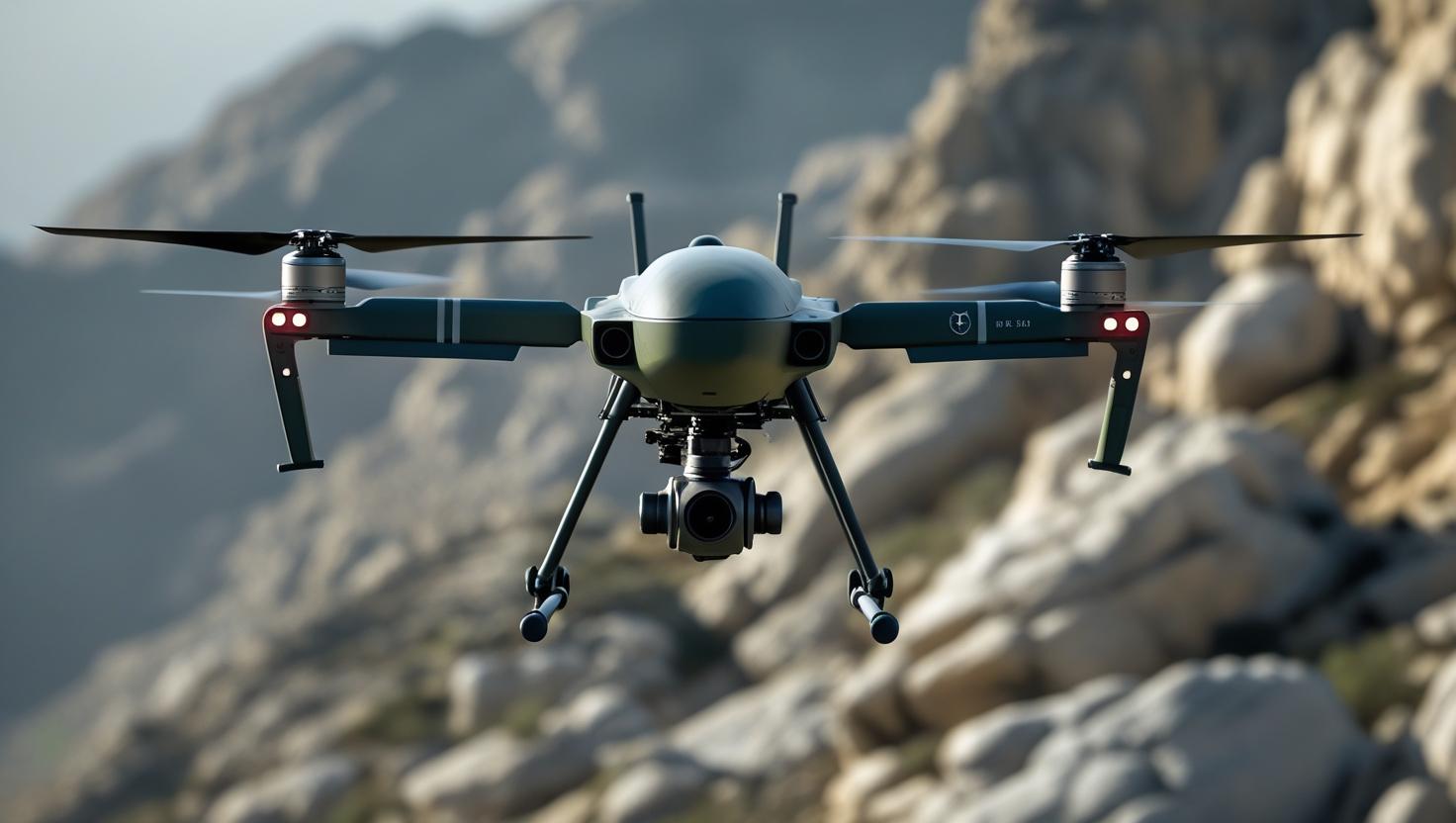
India’s expanding unmanned aircraft sector has raised questions about the capabilities that the Drishti-10 brings when compared with the indigenous DRDO TAPAS-BH-201. Both platforms fall within the Medium Altitude Long Endurance (MALE) UAV category and are intended for persistent intelligence, surveillance and reconnaissance missions. Drishti-10 offers an industry-developed alternative with its own sensor and production ecosystem, while TAPAS represents years of investment by DRDO and Indian industry in establishing a sovereign MALE UAV capability. TAPAS incorporates indigenous avionics and sensor systems and has been designed around long-duration surveillance missions. One of its major capabilities is an integrated Ku-band SATCOM system that supports beyond-line-of-sight operations at ranges exceeding 1,000 km. Drishti-10 also provides SATCOM-enabled BLOS communications. As a result, the mere presence of satellite communication cannot be considered a decisive advantage for either platform. A more important consideration for India is the degree of domestic control over the communications architecture, including encryption, terminals, data links and network integration. Radar capability presents another important area of comparison. TAPAS has been associated with an indigenous Synthetic Aperture Radar developed by DRDO’s Electronics and Radar Development Establishment (LRDE). The system is intended to provide strip-map and spotlight imaging as well as Ground Moving Target Indicator capabilities. These functions can support wide-area surveillance and help identify and track moving ground targets. Drishti-10 uses the TS-80 radar, which is also promoted as having SAR and GMTI capabilities. Although its published specifications may indicate advantages in certain parameters, the actual battlefield value of those differences must be established through operational testing. Radar performance depends on considerably more than nominal resolution. Factors such as detection range, clutter suppression, processing software, antenna configuration and data-link performance all influence the final result. Flight characteristics also provide an interesting comparison. Publicly available figures indicate that Drishti-10 can operate at approximately 25,000 feet, remain airborne for about 15.5 hours and carry a payload of roughly 300 kg. TAPAS has been associated with an operating altitude of around 28,000 feet, endurance of up to 18 hours and payload capacity of approximately 350 kg. If these figures correspond to operational configurations, TAPAS could have an advantage in altitude, endurance and payload rather than Drishti-10. The electro-optical and infrared sensor suites provide another significant comparison. TAPAS uses the indigenous CAMOP payload, which combines EO/IR sensors with laser ranging and target-designation capabilities. Weighing about 55 kg, CAMOP is intended to provide substantial surveillance capability while preserving useful payload capacity. The system builds upon India’s earlier MREO and LREO sensor programmes. Drishti-10’s Spectro XR sensor, meanwhile, incorporates Short-Wave Infrared technology. SWIR imaging can be valuable in smoke, haze, dust and other reduced-visibility environments, potentially giving Drishti-10 an operational advantage under difficult conditions.